Projekt
Far:Near

How far is far? Kartographische Kognitionsforschung in Kooperation mit dem Institut für Länderkunde. Prof. Dr. Francis Harvey
Details
- Abschluss
- Projekt
- Jahr
- 2019
- Weiteres
-
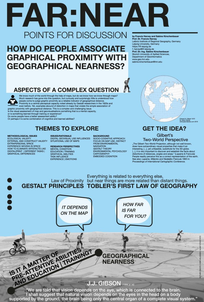
Francis Harvey, Sabine Kirschenbauer: How far is far? Kartographische Kognitionsforschung in Kooperation mit dem Institut für Länderkunde.
Poster Präsentation COSIT 2019, 14th International Conference on Spatial Information Theory, Regensburg, Germany, September 9-13 2019. https://cosit2019.ur.de/
How do people associate graphical proximity with geographical nearness?
How far is it - comprehending and understanding map distances in terms of alliocentric and egocentric dimensions. We know much of the world through the help of maps, but do we know how we know through maps? Much research has gone into this question, but curiously and surprisingly little is understood how people come to judge graphic proximity as a reliable indicator of geographical distance.
Die COSIT Konferenzreihe ist die bedeutsamste Veranstaltung auf dem Gebiet Spatial Information Theory mit jährlich steigenden Besucherzahlen.