Abschlussarbeit
Remote sensing-based analysis of climate change impacts on water resources and agricultural productivity in the Southern Province of Zambia

Fernerkundungsbasierte Analyse der Auswirkungen des Klimawandels auf die Wasserressourcen und die landwirtschaftliche Produktivität in der Südprovinz Sambias
Details
- Extern/e Autor:in
- Jana Grenke
- Intern/e Betreuer:in
- Prof. Dr. Wilfried Hagg
- Abschluss
- Master
- Studiengang
- Geomatik
- Jahr
- 2023
- Fakultät
- Fakultät für Geoinformation
- Status
- abgeschlossen
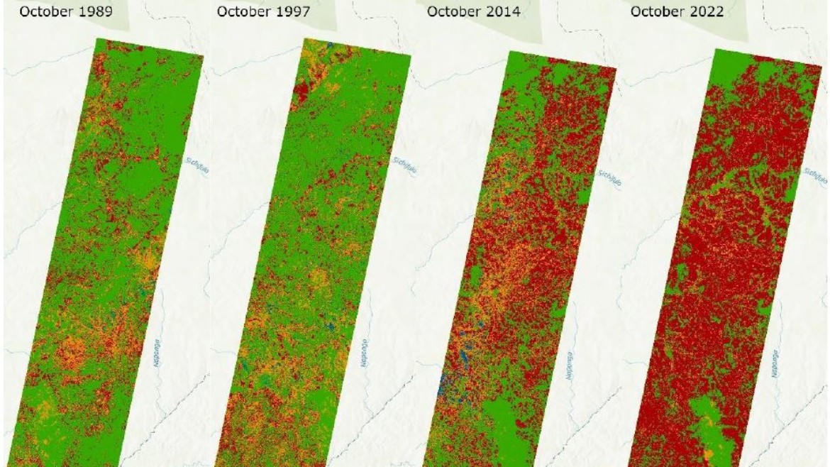
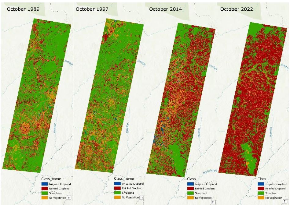
The aim of this master's thesis is to analyse the effects of climate change on agriculture in the Southern Province of Zambia using remote sensing methods. The research focussed on investigating the trends in climate variables and the effects of these changes on agricultural productivity and its water supply, in this case primarily precipitation. The remote sensing methods used were to be tested for their advantages and limitations. One focus was on the application of the Normalised Difference Vegetation Index.
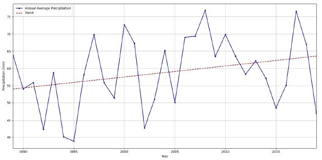
Among the findings of this thesis are fluctuations in climate variables over time. Particular emphasis is placed on the observed trends, with temperatures consistently increasing while precipitation shows both increases and decreases in certain periods.
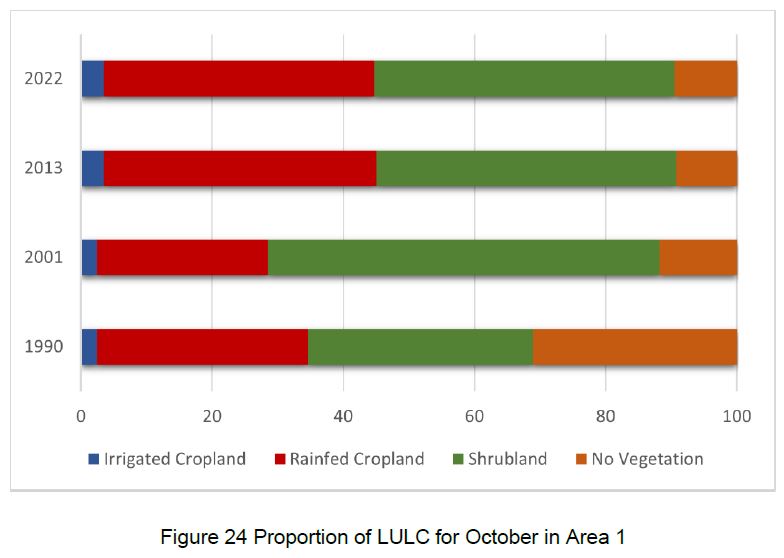
The analysis of satellite data and meteorological information made it possible to identify complex relationships between environmental factors. In particular, that the vegetation of agriculture is dependent on precipitation. Especially in the Southern Province of Zambia, due to the wide spread of rainfed agriculture. This could lead to consequences for food security and the livelihoods of the population in the event of further negative precipitation trends.
It can be stated that the use of remote sensing methods in questions concerning climatology and agriculture can be considered as useful. With regard to the accuracy of the results, a mixed approach of remote sensing methods and on-site measurements seems to be favourable.


